Active
Eureka, UT 84628
$170,000
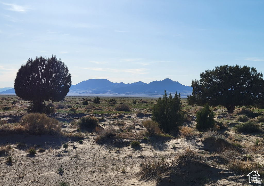
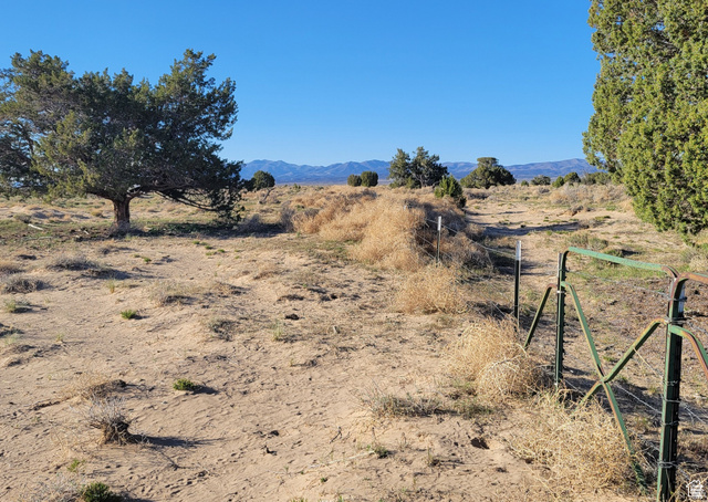
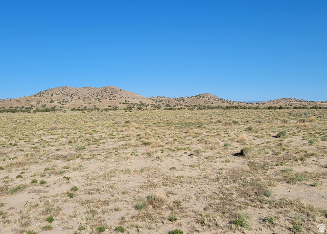
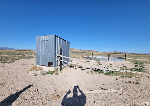
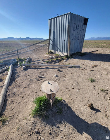
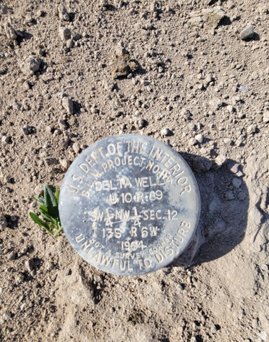
Located just outside of Eureka and runs along the side of Little Sahara Sand Dunes. Their is a well that is shared with the land owner next door. The seller's do NOT have any water shares. They can be applied for and purchased through Cherry Creek. The land is zoned for Residential or Agricultural use. The land is flat and ready for anything from building a subdivision or single family homestead. Driving Directions: Enter GPS Coordinate 39.72930, -112.46148 in your smartphone. Turn off of HWY 6 toward Little Sahara Sand dunes. Appx. 9 miles from the turnoff you will have take the left fork. You should start seeing. The GPS coordinate is my For Sale Sign that is hanging from a tree. That is the NE Corner***GPS Coordinates: Property Coordinates: 39.72300, -112.49871; For Sale Sign: 39.72645, -112.48188; Water Well: 39.71981, -112.48150**See Attached Listing Docs for Map of Pin Point to Property
| Lot size | 320 acres |
|---|---|
| Stories | 0 |
| Type | Residential |
| Annual taxes | $1,722 |
| County | Juab County |
| MLS # | 2181219 |
| Days on market | 73 |
Photos (6)
Listing courtesy of Sheldon Skip Roberts, RANLife Real Estate Inc.
SCHEDULE A SHOWING OR MAKE AN OFFER
Buy with GIDDY DIGS for a 2% buyer commission, requested from the seller with your offer.